Edward Wells
Edward Wells
Antique Engraved Map of Italy - 1726
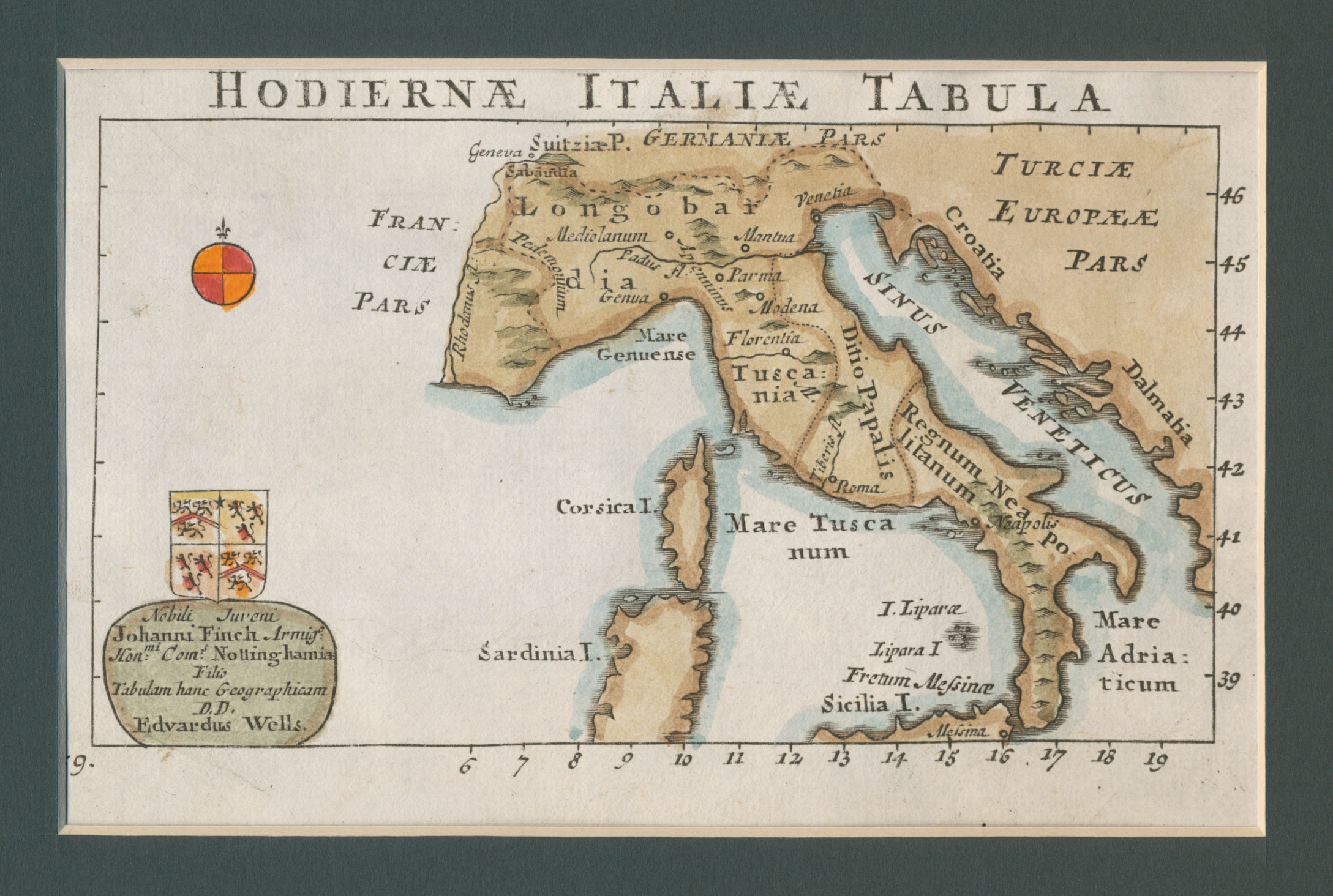
Hodiernæ Italæ Tabula 1726 by Edward Wells
Original engraved antique map of Italy from 1726, illustrating the main geographical features known at the time, naming the major regions such as Longobai, Tusania, Regnum Litanum, Sicilia, Corsica and Sardinia; also bearing a heraldic crest above the legend.
Matted to 11″ x 13″ charcoal board, the affixed visible map measures 4″ by 6.5″, has later outline hand coloring and is in excellent condition.
Edward Wells was an Oxford mathematician, geographer and religious minister who is noted for one main atlas, A New Set of Maps both of Ancient and Present Geography, published in 1700. Wells’ maps are easily recognizable by their flourished engraving style.