Antique Maps
Antique Maps
Antique Map of Vatican City - 1900
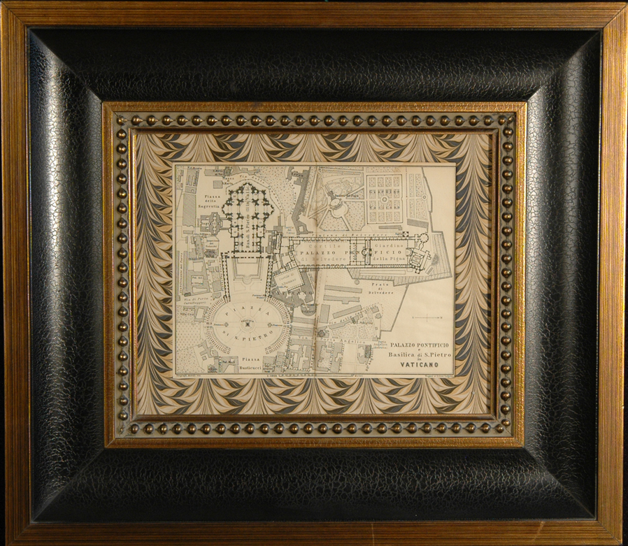
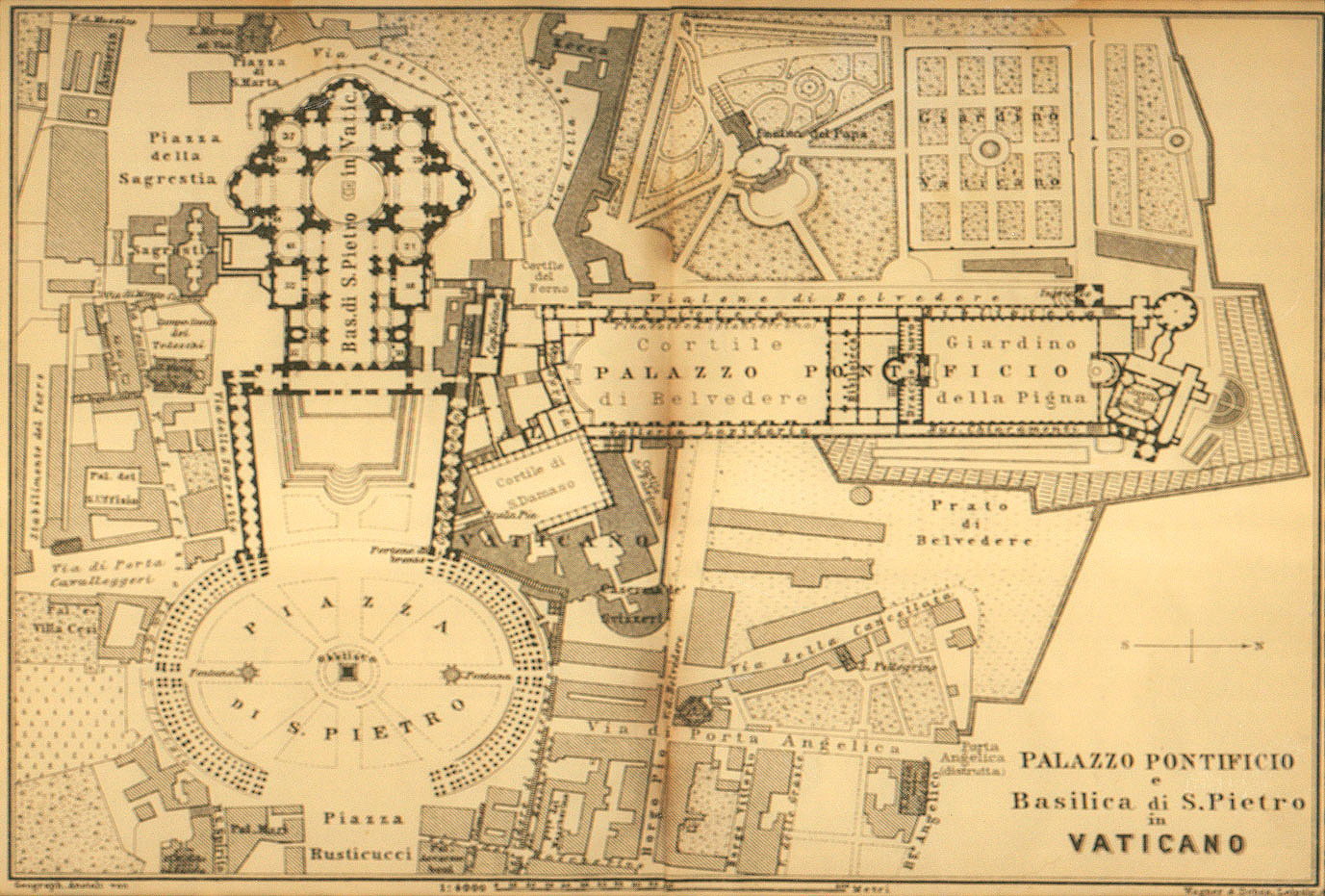
This antique and highly detailed engraved map of Vatican City, titled Palazzo Pontificio Basilica di S. Pietro in Vaticano, was produced in 1900 by Wagner & Debes, a German firm that specialized in providing maps for inclusion in the famous guidebooks for travelers published by Karl Baedeker in the 19th and early 20th centuries. This aerial cartograph of Vatican City shows the principal buildings and layout, including Piazza di San Pietro, Piazza Rusticucci, Piazza della Sagrestia, Cortile di Belvedere, Giardino della Pigna, and many others. The map image is approximately 7.5″ x 5.5″, framed in a dark wood faux brass and leather motif, with an overal measurement of 15″ x 17″.
About Wagner & Debes
Eduard Wagner founded the firm as a lithographic press in Darmstadt in 1835. In 1839, Baedeker gave a contract to Wagner for a regular supply of maps for his increasingly popular guidebooks. Propelled by Baedeker’s growth, the firm expanded steadily for the next several decades. In 1872, when Baedeker moved from Koblenz to Leipzig, Wagner also relocated. At the time of the move, Eduard’s son Heinrich took over the business from his father. In Leipzig, he joined forces with Ernst Debes, a noted cartographer from the firm of Justus Perthes in Gotha, to form H. Wagner & E. Debes. In addition to its work for Baedeker, the firm published atlases and wall maps, especially for use in schools. This 1900 map of Vatican City is typical of the high-quality maps produced by the company, which flourished until the eve of World War II.